Wind Sensing and Modeling
NLR's wind sensing and modeling work supports the deployment of wind-based generation technologies for all stages of a plant's life, from resource estimates to construction.

NLR researches the design and operation of remote wind measurement, or sensing, technologies such as lidar, sodar, and radar as well as traditional wind measurements using surface stations and towers. We also conduct research and development in wind modeling at scales from individual turbines to wind plants to entire continents at a range of resolutions.
Capabilities
Wind remote sensing design, testing, operation, and use for improved wind plant operation
Simulation at the turbine, wind plant, and regional scales for resource prospecting, resource assessment, plant design, plant operation, and grid integration studies
Projects
NLR helps users understand how to use lidar for many applications. NLR researchers supported the development of recommended practices for ground-based lidar for resource assessment and contributed to international standards for the use of lidar for power performance testing. NLR researchers also use lidar in complicated field tests to monitor winds over large areas to validate wind plant flow models.
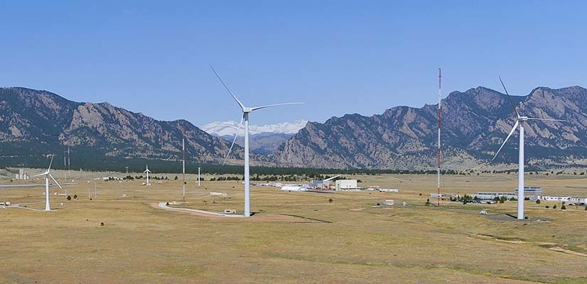
Wind lidar has been installed on turbines at the National Wind Technology Center to gain advance knowledge of incoming winds and monitor wakes behind operating turbines. Leveraging knowledge gained from NLR’s aerodynamics and flow modeling research, wake monitoring allows wakes to be steered through a plant to avoid downwind turbines, which reduces loads and increases performance.
NLR also works with manufacturers and end users directly and as part of the international lidar community through IEA Wind Task 32.
In this project, researchers are measuring and modeling wind and other atmospheric conditions in the Columbia River Gorge in partnership with industry, other national laboratories, and the National Oceanographic and Atmospheric Administration. NLR's work includes instrument deployments, modeling of weather in the area, and developing a verification and validation framework for all project participants.
The Wind Integration National Dataset (WIND) Toolkit is a high-resolution data set for grid integration studies and other applications that require long time series of data over large areas of the United States.
Publications
An Error Reduction Algorithm To Improve Lidar Turbulence Estimates for Wind Energy, Wind Energy Science (2017)
Improving Lidar-Derived Turbulence Estimates for Wind Energy, Wind Energy Science (2016)
The Wind Integration National Dataset (WIND) Toolkit, Applied Energy (2015)
Wind Integration Studies, International Energy Agency Expert Group Report on Recommended Practices (2013)
View all NLR publications about wind sensing and modeling.
Contact
Share
Last Updated Dec. 6, 2025
